Brownsville sits on the Rio Grande delta, where thick alluvial clays and silty sands create slope challenges that standard textbook solutions rarely address. Local contractors know the frustration of excavating a channel bank only to see sloughing within days, or designing a detention pond on a site where the natural grade barely exceeds two percent. The real issue usually lies deeper than the surface observation, in the pore pressure regime and the layered stratigraphy left by centuries of river migration. Our SPT drilling program provides the subsurface definition needed before any slope model can be trusted, because assuming homogeneous clay in a delta environment is a gamble nobody should take on a project budget.
A delta clay slope can lose forty percent of its undrained shear strength after a single wet season if the drainage layer isn't accounted for in the model.
Technical details of the service in Brownsville Texas
Risks and considerations in Brownsville Texas
We run the analysis on high-resolution stratigraphic models built from mud rotary borings and CPT soundings, because a slope model is only as good as the subsurface data feeding it. In Brownsville, where the Pleistocene Beaumont Formation underlies recent delta deposits, the contact between stiff overconsolidated clay and softer Holocene sediments often becomes the critical failure surface. Missing that contact by a foot can overestimate the factor of safety by twenty percent or more, which is why our field crews log every boring at the geologist's direction and our lab confirms classification with Atterberg limits on every major unit. The report you receive includes clear cross-sections, the governing failure circle geometry, and the pore pressure assumptions that drove the result, so the reviewing agency sees a transparent, defensible analysis rather than a black-box output.
Our services
We deliver slope stability evaluations that help developers, civil engineers, and municipal agencies in the Lower Rio Grande Valley move projects forward with confidence. Each analysis ties directly to the construction sequence and the long-term drainage conditions on site.
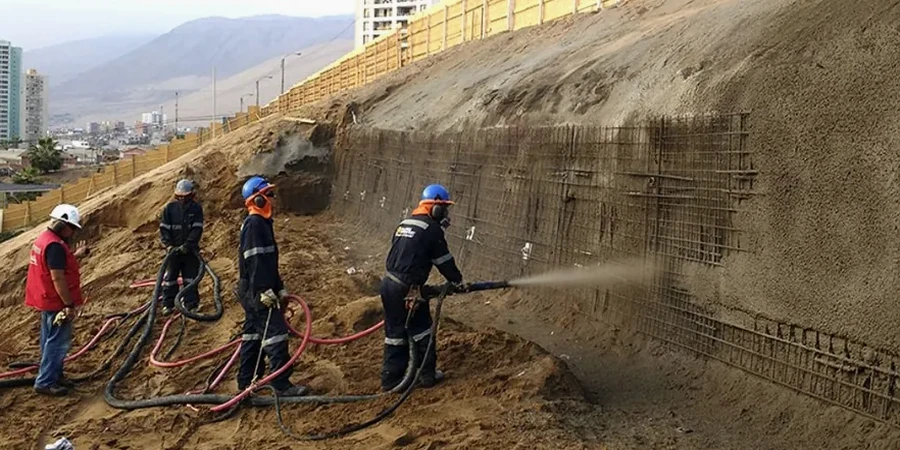
Embankment and Levee Stability
Resaca banks, flood control levees, and roadway embankments built on Brownsville's compressible delta clays require staged construction analysis and effective stress modeling to prevent rotational failures during fill placement.
Excavation Slope Design
For utility trenches, detention basins, and channel cuts in the city's interbedded sands and clays, we evaluate short-term undrained stability and recommend safe slope angles or shoring where groundwater complicates the excavation.
Post-Construction Monitoring Plans
When a slope must perform for decades, we establish inclinometer and piezometer baselines tied to the project's geotechnical model, giving owners a defensible record and early warning on pore pressure trends.
Questions and answers
How long does a slope stability analysis take for a typical Brownsville commercial site?
A standard analysis for a detention pond or embankment, including field drilling, lab testing, and the geotechnical report, typically runs three to four weeks from mobilization to final submittal. Sites requiring piezometer installation for long-term monitoring add about two weeks to establish baseline readings.
Does the analysis include seismic slope stability for Cameron County?
Yes. We apply the USGS probabilistic ground motion hazard values for the Brownsville area and perform pseudo-static slope stability checks using a horizontal seismic coefficient consistent with the site class determined from your subsurface investigation. This meets the IBC requirement for structures in Seismic Design Category C.
What does a slope stability study cost for a project in Brownsville?
Can you analyze an existing slope that is already showing cracks or movement?
Absolutely. We start with a forensic site visit to map tension cracks, scarps, and seepage points, then design a subsurface investigation that targets the likely failure surface. Back-analysis of the observed movement, combined with lab-measured residual strength, allows us to recommend a stabilization strategy that works with the actual conditions rather than idealized assumptions.