The total stations and inclinometer probes arrive on-site before the first bucket breaks ground. Brownsville excavation work demands constant vigilance over a soil profile unlike any other in Texas. We set up automated prisms on adjacent structures, install vibrating wire piezometers to track pore pressure shifts in the clay lenses, and run daily settlement surveys across the right-of-way. The Rio Grande delta deposits beneath the city, layers of compressible clay and silty sand, react quickly to dewatering and unloading. Without instrumented oversight, what starts as a routine cut can become a costly stabilization event. Our field crews live in the data, establishing deformation thresholds before mobilization so that every reading has a trigger and every trigger has a response plan. Complementing this, we often run an in-situ permeability test to calibrate the dewatering model against actual field conductivity before excavation reaches depth.
Monitoring transforms an excavation from a calculated risk into a managed process, where every millimeter of movement has a context and a response.
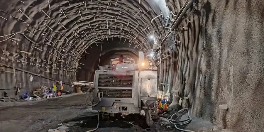
Technical details of the service in Brownsville Texas
Demonstration video
Risks and considerations in Brownsville Texas
Brownsville sits at the crossroads of two aggressive geotechnical realities: expansive surface clays that swell with every Gulf moisture cycle and a high water table that rises sharply during hurricane season. An unmonitored excavation in this environment can fail in more than one way. Dewatering draws down the groundwater and triggers consolidation settlement under adjacent footings, often before the shoring wall shows any distress. The clay layers in the Beaumont Formation lose shear strength as pore pressure equalizes slowly, meaning slope stability can degrade days or weeks after the cut is made. We have tracked sites where a two-inch rainfall event increased lateral deflection by 40 percent within 48 hours. The cost of monitoring is measured against the cost of underpinning a neighboring structure or rebuilding a collapsed utility trench. In the Rio Grande Valley’s soft ground, real-time data is not a luxury. It is the difference between a controlled outcome and a reactive emergency. Every instrument we deploy serves as an early warning system calibrated to the specific stratigraphy encountered in the city’s east and west corridors.
Our services
Our excavation monitoring services in Brownsville integrate field instrumentation, remote data acquisition, and geotechnical analysis to protect adjacent assets during construction. Each program is built around the specific shoring design, soil profile, and risk tolerance of the project.
Automated Deformation Monitoring
Robotic total stations with fixed prisms deliver continuous 3D displacement data on shoring walls, adjacent buildings, and utilities. Data streams to a web-based portal with configurable alarm thresholds.
Subsurface Instrumentation
Inclinometers, vibrating wire piezometers, and extensometers installed in boreholes around the excavation perimeter to track deep-seated movement and groundwater response.
Crack and Vibration Monitoring
Wireless crack gauges and triaxial geophones capture structural response and construction vibration on historic or sensitive structures within the zone of influence.
Construction-phase Geotechnical Support
Daily review of monitoring data against baseline predictions, with trigger-based response plans and field recommendations for dewatering adjustments or shoring modifications.
Questions and answers
How much does geotechnical excavation monitoring cost in Brownsville?
When is excavation monitoring required by code in Texas?
The IBC 2021 Chapter 33 requires monitoring when excavations extend below the level of adjacent foundations and where ground movement could compromise structural stability. In Brownsville, the combination of shallow groundwater and compressible deltaic soils means monitoring is strongly recommended even for cuts of 10 feet or more near existing structures. Municipal permits may also require an instrumentation plan for projects within the city’s historic districts or adjacent to critical infrastructure.
What instruments do you typically install on a Brownsville excavation site?
A standard program includes inclinometer casing behind the shoring wall to measure lateral deflection, settlement points on adjacent pavement and foundations, and vibrating wire piezometers to track groundwater drawdown during dewatering. For sensitive sites we add automated total stations with fixed prisms, wireless crack gauges, and tiltmeters. The exact layout depends on the excavation depth, proximity to neighboring structures, and the soil profile encountered in the borings.